 |
| The road to Crooks Corner was a total no go |
 |
| Just outside of Punda Maria Rest Camp |
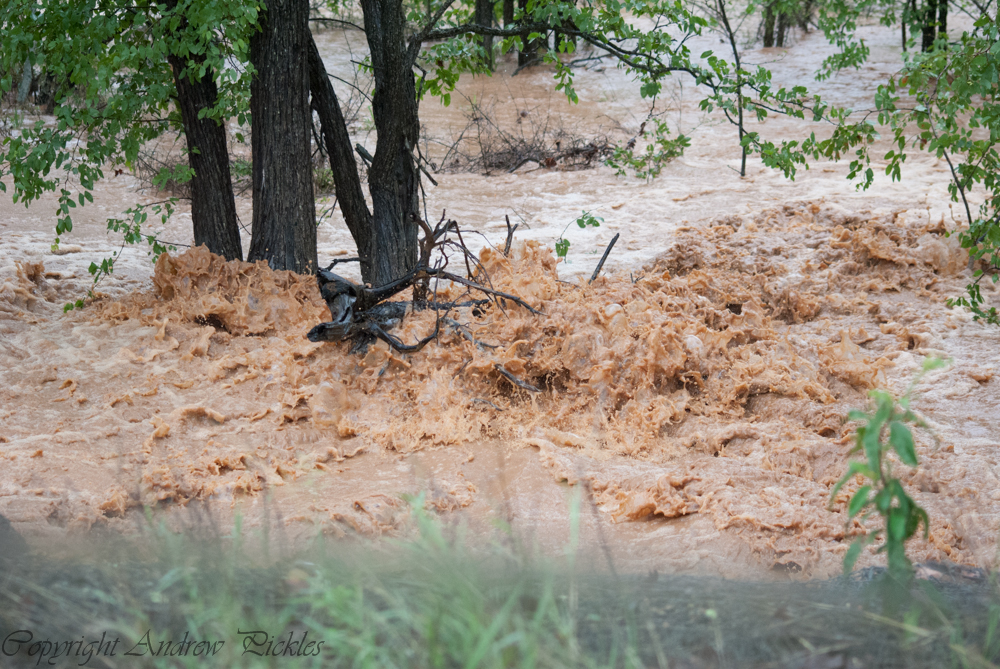 |
| next to the main road between Punda Maria Gate and Pafuri road |
 |
| the clearing for the electricity pylons soon became a water hazard. The next day this water had all disappeared |
 |
| Letaba River as seen from the restaurant on 19th January |
 |
| Letaba River from the same spot on 20th January |
 |
| Letaba River from the same area but on 21st January. the fence around the camp was totally under water in some places. The water was 1m below the 2000 flood line, the worst floods in recorded history |
 |
| 21st January, the high level bridge was under water. This bridge is 10 to 15m above the river bed |
 |
| The Letaba River was flowing quickly and trees were being carried down river |
Wow, that's a huge amount of water!! The park seems to get hit quite regularly. Last year when we were there in Dec 11/Jan 12, they also had very heavy rain and flooding a few days after we left. Our camp site was totally under water at Letaba.
ReplyDeletenice..
ReplyDelete